|
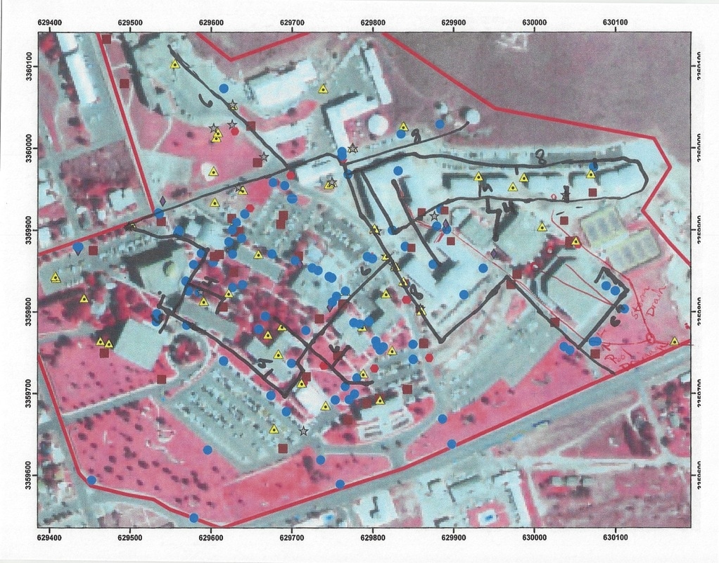
My senior GIS project was primarily that of a civil engineering project, in that I was mapping the Sul Ross State University campus' utility lines. Electricity, Internet, Phone, Cable, Gas, Steam, Water, Sewer, and Drainage were all mapped. The final product was two fold, an updated and interactive map of the utilities on campus to be used by engineers, construction, and maintenance during improvement projects, and a poster showcasing my work to be presented at a symposium on Geographical Information Systems. As far as I know, the interactive map is still in use by Sul Ross, however, I am not certain, as there has been a couple of administrative changes since I graduated. The poster was presented at a symposium in Huntington Beach, California, however, I was unable to attend that symposium and missed out on the opportunity to showcase my work.
Below is a slide show on the work I completed while working through the project. The last shot is the poster that I created to showcase the work that I did and what I was trying to complete. |

